Why Tide Times Change Each Day Along the Coast
Why do tide times change each day? Learn how the Moon, Sun, and coastal shape shift local high water, and choose the right tide station for your plans.
Tide times change each day because the Moon moves along its orbit while Earth turns, and each coastline reshapes the tide wave in its own way. A harbor’s high water can arrive later than the previous day’s, while a nearby beach follows a different schedule.
Why do tide times change each day?
The Moon’s gravity helps create broad tidal bulges in the oceans. As Earth rotates beneath these patterns, many coastlines experience two high waters and two low waters during a lunar day. A lunar day—the interval from one Moon crossing overhead to the next—is longer than a solar day because the Moon continues along its orbit as Earth turns.
That difference helps explain why high water often arrives later on successive days. The delay varies by location: some coasts have two distinct high waters each day, while others have one dominant high water or a less regular pattern.
The Moon’s position relative to a coastline also changes. A tide table predicts a local pattern, not a shared appointment for every beach, harbor, and estuary. Use a prediction for the place you plan to visit rather than borrowing a time from a nearby town.
How does the Sun change the tidal range?
The Sun’s gravitational influence combines with the Moon’s. The effect on tidal range depends partly on how the Sun, Earth, and Moon are aligned.
Around new and full Moons, the three bodies are aligned, and their tidal influences tend to reinforce one another. Many coasts then experience a larger difference between high and low water, called a spring tide. The name describes the tidal range, not the season.
Near the first and third quarter phases, the Sun and Moon pull from directions that partly offset each other. This tends to produce a smaller difference between high and low water, called a neap tide. Local geography shapes the result, so the pattern in an exposed bay may differ from one in a narrow inlet.
Range and timing are related but distinct. Spring and neap describe how far water rises and falls, not a universal hour for high tide. A tide table for a named station can show predicted times and heights over several days.
How does the coastline reshape local tide times?
As a tide moves across a continental shelf and into a bay or harbor, seabed depth, channel width, and coastal outline affect its movement. Water can slow, narrow, reflect, or change direction as it passes through these features.
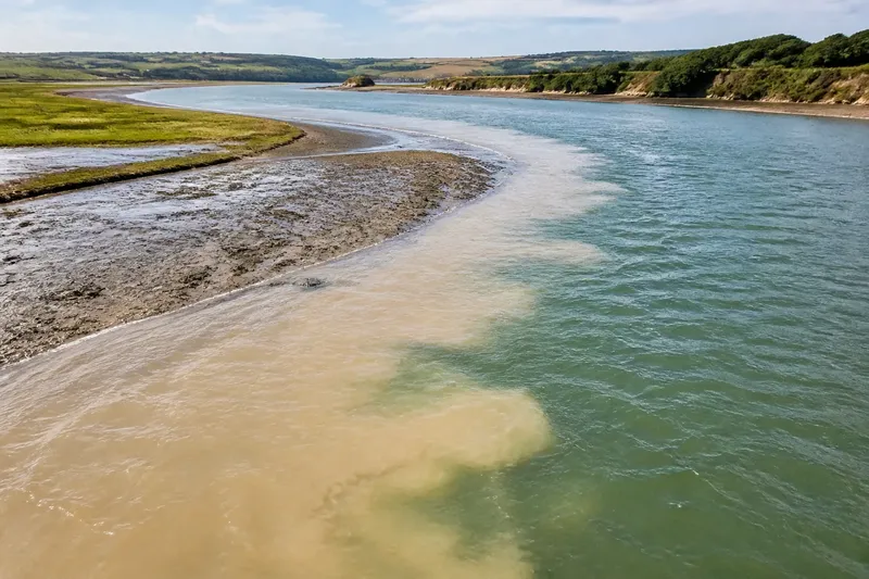
A shallow shelf can alter the pace and shape of the incoming tide. In a funnel-shaped bay, water entering a narrowing space may rise more noticeably than along an open coast. A long inlet can also have different high-water times at its mouth and farther inland.
Harbor entrances, breakwaters, and basins shape how water moves in and out. A local high-water time or range may therefore differ from one at a nearby open beach. Tide-table station notes can identify the reference location and explain whether its predictions apply elsewhere with adjustments.
Wind and atmospheric pressure can make observed water levels depart from the predicted astronomical tide. Wind may push water toward or away from shore, and pressure changes can also affect the level. These influences help explain why the water at the edge may not match the prediction exactly.
Which tide information should you use?
Choose information to match the decision: use a local tide table for predicted high- and low-water times, compare stations to understand differences along a coast, or observe from a safe viewpoint to see whether water is rising or falling. When the local setting matters, use more than one of these approaches.
When is a local tide table useful?
Use a tide table when you need predicted high- and low-water times and heights for a particular place. Check that the named station represents your beach, harbor, or inlet.
Look for the station name, time zone, date, and height reference, such as chart datum. A prediction is not a promise of the exact water level at the shoreline: weather and local conditions can alter what you see.
When should you compare nearby tide stations?
Compare stations when your destination lies inside a harbor, up an inlet, or behind a headland, or when a nearby town’s tide time does not fit what you observe. This comparison helps explain local differences rather than supplying one coastwide time.
Note whether each station is on the open coast, near a harbor entrance, or farther inland. If the predicted times and ranges differ, the contrast may reflect the coast’s shape and the water’s route. The most useful comparison is between places with similar coastal settings, not necessarily the closest stations.
When does observing the shore help?
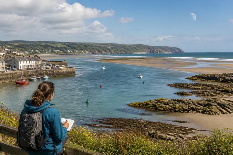
From a safe, accessible viewpoint, observe a recognizable landmark and the waterline to see whether the water is rising or falling. Pair that view with a tide prediction; observation alone may not reveal an exact high-water time, especially on a flat shore.
Avoid exposed rocks, channels, and other places that rising water could cut off. If conditions or access are unclear, follow local guidance and choose a safer viewpoint.
How can you choose between tide predictions?
Start with the place and decision. For a named beach or harbor, check its local tide table. For a location between stations or deep inside a bay, compare predictions and favor the station with a similar coastal setting. To judge whether the water is rising or falling now, observe from a safe vantage point alongside the prediction.
Say you plan to walk along a narrow inlet, and the closest town’s tide prediction seems early. Your starting information is the town station’s table, the inlet entrance station’s table, and a public viewpoint inside the inlet. First, compare the station locations: the town is on the open coast, while the entrance is closer to the inlet’s setting. Next, check each table’s date, time zone, and predicted high-water time; suppose, for this invented example, the entrance prediction is later. Then observe a fixed landmark from the public viewpoint and note whether the waterline is rising or falling. The resulting choice is to use the entrance prediction as the closer reference, while treating the observation as a check on direction—not an exact time. The tradeoff is that neither station may perfectly represent the walking route, so current local guidance still matters.
- Check the station name: If it describes your destination, use its prediction; if it names a different coastal setting, compare a more representative station.
- Check the station location: If it is on an open coast but your destination is inside an inlet, compare an inlet station; if no closer setting is represented, treat the estimate cautiously.
- Check the time zone and date: If both match your plans, compare the listed times; if either differs, correct the selection before using the prediction.
- Check the height reference: If the table states its datum, interpret heights relative to that reference; if the datum is unclear, consult the station notes before comparing heights.
- Check the predicted range: If the difference between high and low water affects your plan, consider both heights; if it does not, use the timing relevant to your decision.
- Check current conditions: If wind, pressure, or local notices suggest water may differ from the prediction, consult current local information; if conditions appear ordinary, still treat the table as a prediction rather than a shoreline reading.
- Check your viewpoint: If it is safe and accessible, observe a fixed landmark alongside the prediction; if water could cut off access or the route is uncertain, choose another viewpoint and follow local guidance.
What should you check in a tide prediction?
A tide table usually lists predicted high and low waters for a particular station, with times and heights. Looking across several days can reveal the changing local pattern and shifts in tidal range.
Check the date and time zone before comparing a table with your plans. A height measured from chart datum does not tell you how much water sits above every part of a beach; local land elevation and seabed shape matter too.
Distinguish a predicted tide from a real-time water-level reading. Predictions describe the expected astronomical tide, while a gauge or local coastal notice may reflect conditions at that moment, including weather effects. If a plan depends on a narrow timing window, consult current local information rather than relying on a printed prediction alone.
What do readers ask about changing tide times?
Why can high tide differ between nearby beaches?
Headlands, shallow shelves, channels, and bays can change how a tide wave travels, so nearby places may not peak together. Compare stations with similar exposure and coastal shape rather than choosing only by distance.
Does a spring tide happen only in spring?
No. A spring tide is associated with the Sun and Moon lining up around new and full Moon phases. The name describes a larger tidal range, not a time of year.
Can wind change the water level shown by a tide table?
Yes. Wind and atmospheric pressure can shift observed water levels away from the predicted astronomical tide. Check current local conditions if that difference could affect your plans.
Why does a nearby town’s tide time seem wrong?
The town’s station may be on an exposed shore while your destination is inside a sheltered inlet. Look for a prediction station with a more similar coastal setting, and consult local guidance when the distinction matters.
When tide times change each day, the useful question is not just what the clock says, but which station describes the coast you will use. Check that station’s date, time zone, and setting, then compare its prediction with current local conditions and a safe view of the water.